Check out the volcanic cone in the background. This is the famous Mount Doom in the Lord of the Rings trilogy. It kept getting closer and closer during our hike. We have not hiked 12.5 miles in quite a while, not to mention the 750 meter uphill, or about 2500 feet, over the first 5 miles.

We arranged a shuttle bus to get us to the beginning of the hike 40 minutes from the shuttle parking area. The bus driver was a riot as he gave us, and the other hikers some advice and information. He noted that if the volcano erupted we should simply run like hell as that is all one can do. He apologized for the volume of dust kicked up during the 10 mile dirt approach road. He said that “it sucked but that he got us here alive.” The very narrow road had 3 separate bus on bus crossings today. He also said that an 87 year old man did the hike a while back so toward the end, if you are tired, suck it up and dig deep.

The relief map above shows our route along the Alpine Crossing. Does not look like much at this scale but it was a hike!

We are set to go. The biggest sense of angst for us was that we would be out in the blazing New Zealand sun for 6-8 hours with no respite. Bucket hats and sun screen would have to do. I chatted with the 3 workers stationed here (all Maori with thick accents) and two of them said they have never done the walk even though they have worked there for years.

We thought Mount Doom was sending off smoke signals early on but realized it was only a wispy cloud!

It was exciting to get closer and closer and to see the evolving image with all the different lava flows.

Their version of the our National Park Service placed placards like this every now and again warning of potential bad weather and what to do if you were too tired to continue on. No bad weather today but we were a bit tired. Some of the trek was along boardwalk like this. Same reason some hikes use boardwalks back in the States, keeps folks from trampling the fragile alpine plants.

Made it half way up in elevation and found South Crater to be an easy half mile stroll to the longer, steeper part of the climb. This picture did not capture the steam rising from the trail ahead. Geothermal stuff is cool.

This picture almost captures the trail leading up to the summit of the crossing. Very steep and loaded with volcanic scree. You can see a hiker traversing the last section at the top. Very small because he is very far away.

View of the South Crater trail we just left. Red Crater is pictured on the left of the pic.

Climbing quickly in altitude. We had a fabulous view but for how many kilometers we do not know.

View of a lava dike from half way up our climb. They form when magma rises into an existing fracture, or creates a new crack by forcing its way through existing rock, and then solidifies.

Finally reached the high point of the trail and spied these fabulously colored glacial lakes below. There are four of them but this pic captures only two, but what a scene.

An up-close look at the pristine waters of one of the Emerald Lakes. They are sacred to the Maori people so we were asked not to skip stones, put our hands in or go swimming. We heeded this spiritual warning but got nice pics. Only one rogue creep actually got wet. Maybe his karma will become bad?

The initial decent from the summit was the only time we were a bit iffy about our abilities to keep our butts from landing on all the sharp edged lava scree.

I am blowing off a little steam one might say. The sulfur smell here was intense at these fumaroles near the lakes.

Our next visual to feast our eyes on was Blue Lake. Wish my color blindness did not get in the way of these things but I am able to see that it is blue!

As we moved away from the volcanic cone we saw this more recent lava flow into North Crater. Really cool.

Ready to head down the hill to the shuttle parking area only 6 miles away. What a view!

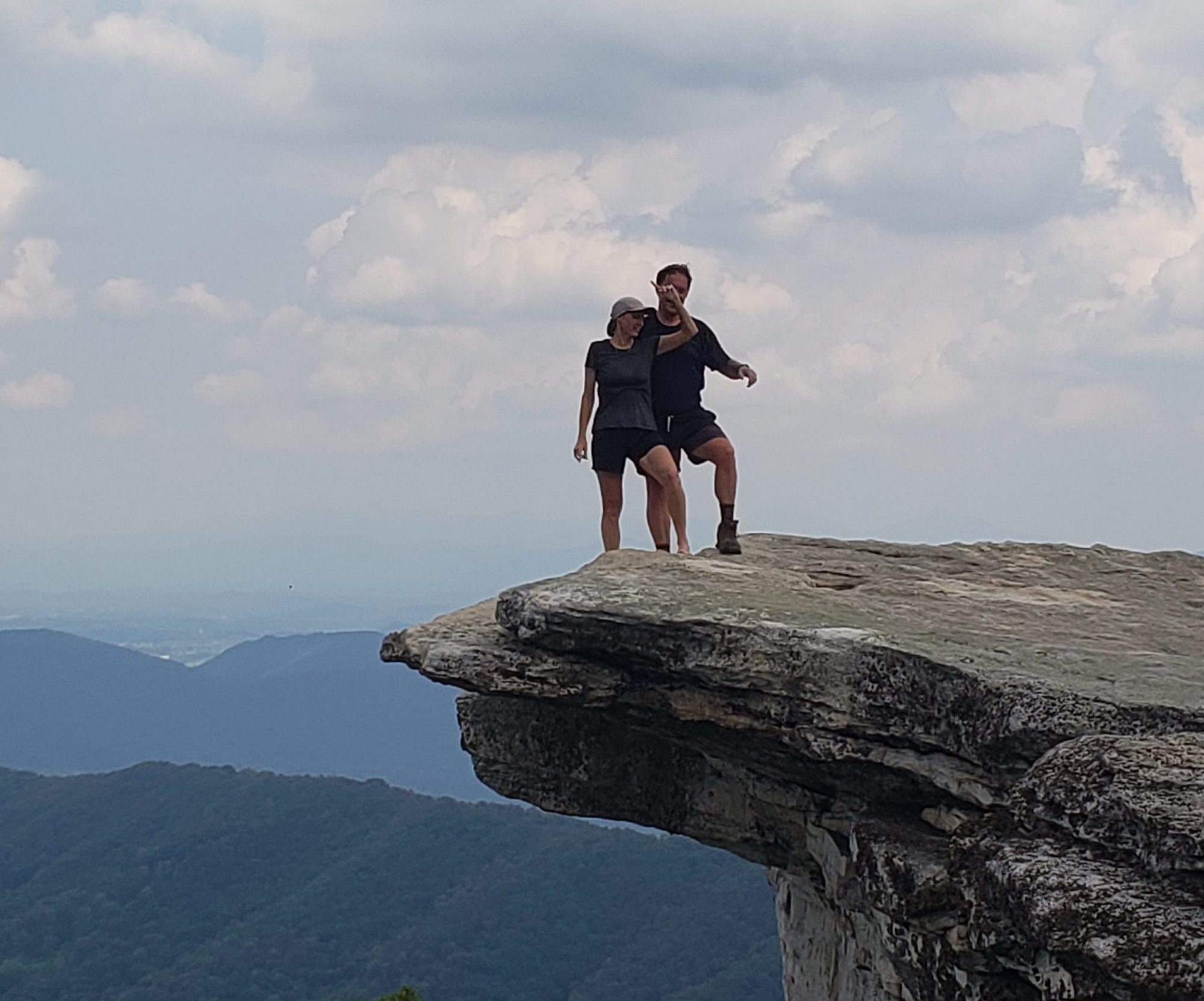
A very nice lady took our picture on the way down. Do we look as tired as we felt? Only 4 miles to go.

The lake in the foreground was formed by a fairly recent landslide and the lake behind it is the very large Lake Taupo. We will be kayaking on that in the upcoming days.

Made it to the parking area to meet our shuttle bus at 5:30. As it was summer solstice down here in the Southern Hemisphere we had plenty of daylight to spare. Check out the age of this bus by looking at the really old clock that did not work anymore!

Exhilaration and sensory overload!
Wow! What an experience! I’m glad Roy had a nice hat and some good hiking poles! What about Laurie?
I’m sure glad you didn’t have to “Run like hell”!!!
I ran into a 75 year old woman today who is an avid bicyclist here. She said she loved biking in New Zealand. You’ll have to bring your bikes with you next time.
Oh my no. Maybe 20 years ago but the roads here are extremely narrow with absolutely no shoulder and there is not a single kilometer of straight road here. The hills and wind would not bother us but the cars on the roads would scare the bejesus out of us. They already to while we are just driving!
What an awesome hike!