Zion National Park, Utah

Just in case you were wondering where we are going next?

Some views were very similar to the amphitheater at Bryce. Gorgeous nonetheless.

Even Zion has Arches!

As one of the roads in the park is a thru-road to other places there were two tunnels blasted out for our driving pleasure. If we were pulling our camper it would have cost us an extra $15 to travel through the park. During peak season, the other road is closed to private vehicles so we would have to park at the visitor center and take a shuttle bus to all stops in that section of the park.

We did find a nice 5 mile hike in the park to see some of the local geology. Really cool striations here. Not sure if they were formed as part of the rock forming process or if water eroded it that way?

We stayed at a park in Hurricane, Utah. Not sure if the mesa was named after the town or vice-verse but some pretty cool history in the area. Back in the 50s the Hurricane Mesa Test Facility was used to test airplane ejection seats. There is a 12000 foot railway to launch test sleds that held the ejections seats. At one time a 9400 pound sled got up to a speed of over 1800 mph. A new land speed record at the time. The facility is still in use as an ejection seat test track.

Hurricane Mesa from a distance.

Some really cool rock formations in this neck of the woods.

More beauty abounds!

Hate to compare parks but this reminded us of Bryce Canyon not a 100 miles away as the crow flies.

We were itching to take a nice hike down into the canyon but we could not locate a downward pointing trail. A view from afar it is today. We will have to revisit Zion in the future to check out all the other trails that lead off the major road closed to our vehicle this time around.

Here is a sure fire way not to beat the heat of the southwest. No first responders as we passed but the previous occupants looked calm enough whilst they waited for the fire truck.
Bryce Canyon National Park, Utah

This park turned out to be one of our favorites yet. The scenery of all the hoodoos nestled in what the park calls its amphitheater was astonishing. Without comment we will show some of the beauty we captured during our visits:

As is always the case, the pictures do not do justice to seeing this beauty in person but, still a nice picture of part of the amphitheater.

We spent two days doing two different hikes. Day one was down into the amphitheater and back out again and day two was the 6 mile hike around the rim of the amphitheater.

This little rattler did not do a good job hiding under the log. At least none of the tourists we saw tried to take a selfie with it.

The hike back up out of the amphitheater was nicely switchbacked. Got to keep the grade to a maximum of 10% you know.

The sandstone in the area is very porous and lets water drain nicely but evidently it is solid enough to force these trees to spread their root tentacles far and wide in search of a drink.

There were two separate tunnels blown through the sandstone for us touristy types to have an easier hike. Very cool.

Had to take a picture of this contraption used for hauling “stuff” to the job sites throughout the canyon, We could use one of these back home for trail work on the Finger Lakes Trail.

As Bryce Canyon has the most dense population of hoodoos in the world we wondered why and how they formed. The thin layer of rock at the top of a plateau protects the softer dirt below from eroding away. This forms all the “fins” we see in the distance at the park. Then the freeze/thaw cycle due to the park being at over 8000 feet of elevation causes holes to form in the fins called “windows”. Then finally, as the windows expand over time it causes the caprock to collapse forming a hoodoo. The entire process occurs over millions of years so we do not figure on coming back in a year or two and finding brand new hoodoos.

The last time we saw these yellow signs warning of prairie dogs was in the Dakotas where their population is more than the human population.

Always nice to see our tax dollars (and our $80 yearly pass fee) being put to good use. The National Park system does a fabulous job keeping things up at the parks.

Has anyone heard of a “bindlestiff?” We recently finished reading a book on the dust bowl and heard this word used to describe a hobo usually hanging around railyards looking for a ride. They also must carry a stick with a sack full of belongings tied to it. Had to take the picture after having just added the word to our vocabulary.

We are used to cows back in the northeast being a bit more polite when trying to cross the road. These ladies were only a small part of the herd that kept us gawking for quite a while. Notice the “beware of cows in the road” sign in the background. Guess the cows did not realize they should have crossed after the sign.

Check out this cute little Christmas tree growing on the side of a hoodoo. Where nature decides to plant trees?

We are getting to the point in our travels that we can say whether or not we will likely be back to a certain area. We will be back to Bryce for sure.

Capital Reef National Park, Utah

We wondered what the word reef was doing in this parks name. Turns out that the early explorers to the region had much nautical experience and thought of the rock formation now called the “Waterpocket Fold” reminded them of a marine reef in that it impeded their transportation in the area. As it is a wrinkle in the Earth’s crust that is over 87 miles long (north-south) we could easily see why it would impede travel progress.

Here is a picture of a tiny portion of that waterpocket fold.

In the background you can see another picture of the reef so to speak.

We took a number of shorter hikes our firsts day in the park. The views were spectacular as expected. The river that etched out this canyon is called the Fremont River. We were hoping to paddle it somewhere but it was currently too dry to float our boat.

We spent another day hiking what is called the “Grand Wash”. A 5 mile journey through a really cool canyon. We could not hike it on day one as it had rained heavily the night before causing the Grand Wash to go into rinse cycle. Although it is not a slot canyon one could easily get “washed away” as the water level rises very quickly. A day later you can still see the mud leftover from the flowing water. Very sticky stuff actually. Made your boots really heavy as it stuck to the bottom of your soles.

Amazing how Mother Nature can create art in so many different ways. The canyon was running with water not 24 hours ago and now….

We figured the construction workers who built the canyon walls had their orbital sander on too high of a setting?

There were all sorts of holes in the sandstone in the area. We hypothesized that they were formed by small rocks being squeezed out of the sandstone and then erosion by water made them bigger.

Wonder what it would be like to try and hike through that slim passage?

Goin’ for a walk one day, in the very merry month of, well, September when the walls of the canyon started closing in on me.

As I could go no further it was time to exit this nifty spot and continue the hike.

We also chose to hike the Cohab Canyon Trail about 3 miles up toward the park’s campground. Ran into This “sumo wrestler” pushing up a large rock with his head.

We did not understand this sign in the middle of our canyon hike? It was not the only one we saw this day either. Maybe the National Park Service had a surplus of them and figured this would be a good use?

Came across a few of these interesting looking “things” on our canyon hike. We figure them to be petrified wood sticking out of the sandstone. If it has rings like a tree and bark like a tree, it must be a petrified tree.

Many times in life the best place to be is in a hole in the wall. It was a nice relief from the sun to find these cooler spots.

Each time the local department of transportation puts up a “beware of” sign we like to get a picture. This is the first time we had to google what the animal was. We had heard of the animal called a marmot but did not realize it was a large ground squirrel that grows up to 2 feet in length and can weigh up to 11 pounds. They hibernate in winter and are eaten by coyote, beaver, fox and eagles. Must be a big eagle to carry off 11 pounds of dinner meat. We supposed that it could become roadkill stew for some folks around here too.

This was a few miles down the road from our base camp. The kiosk had a phone number to call for reservations. No price indicated and we did not call but noticed someone new “glamping” at this location over our 4 day stay.

Canyonlands National Park, Utah

Tough to beat our recent state park visit for views of canyons but this park did not lack for wonderful scenery of the canyons formed by the Colorado and Green rivers. There are two different “units” to this park. One is called “The Needles” and the other “Island in the Sky”. We spent one full day at each unit hiking and gawking at the massive canyons.

Such an expansive view. One canyon flows right into another and then another….

We will save a hike along that dirt path in the picture for another day.

A reverse canyon of sorts?? These flat mountains are called buttes. We have had many a nice hike up and down many buttes across the country. As long as we do not slide down them on our butts they are fun to climb.

As Arches NP has canyons, Canyonlands NP has arches. This one looks like it might not be around for long? Check out the crack in the middle of it.

Where did everyone go? Much of the rim hike here at Island in the Sky is on this cool sandstone tread. Not very slick, even when wet. We asked the rangers why no one seems to be harnessed in and climbing these sandstone cliffs and she said it was because sandstone doesn’t provide a strong enough base to hammer into.

When not walking directly on the canyon rim the trail takes on a kind of desert/scrub forest look. Nice hoodoo in the center, eh?

This spot with salt deposits in the middle has an unknown origin. Theory has it that it was caused by a meteorite. When a crater was formed, the heat from impact melted the salt crystals which were then eventually pushed to the surface.

Day two of our canyonlands adventure was spent at “The Needles” unit. These “needles” are really hoodoos and sandstone “fins” and form a nice metropolitan skyline we thought.

These nice looking buttes will not be climbed today as they are a bit far away and, from what we can find out, have no trail up them. They have the nickname “Monitor and Merrimac”. I suppose if you close your eyes, you can see the resemblance!

As with Mesa Verde, there is evidence of previous civilizations here in the park. The ranger said there were many more of these “secret hiding spots” located in the park but this is the one they chose to highlight on the trail.

We named these hoodoos “His and Hers”.

On our way back “home” we could not resist stopping for a picture of this huge rock that they forgot to blast or tunnel through when the road was constructed.

We stopped at a road side pullout and took a short walk to see “Newspaper Rock”. Evidently these petroglyphs span many centuries and many different tribal units. Supposedly it was used as a form of written communication similar to a newspaper.

Very “cool” spot on a hot summers day. The food truck court in downtown Moab served up all sorts of different types of food. I had a nice brick oven “carnivore” pizza and Laurie had fish tacos. Fabulous. We had never seen a mist curtain like this but it really did cool the area off.

Dead Horse Point State Park near Moab Utah

The park sits on a “spit of land” or mesa that makes it a peninsula of sorts being surrounded on three sides by a very deep canyon. Back in the day wild horses were rounded up and ushered out to the point. The point is accessed by a 30 foot wide strip of land called the “neck”. Once on the point, the horses were corralled there with a gate across those 30 feet. After the cowboys took the prime horses for their own they left the others trapped inside their corral. As there is no water except the Colorado 2000 feet below, they died of thirst. The park literature claims this is a legend and not fact. We think this is a sad legend so we decided to create our own ending….After the cowboys took the prime horses for their own they left the others trapped in their corral, with the horses being untamed the corral couldn’t hold them. One horse died while breaking free and the spirits of the wild horses still roam the canyons below.

This is a gem of a state park here near Canyonlands National Park in Utah. The Colorado River should be given an award for being Mother Nature’s most prolific artist. it cuts nicely through the park creating this massive canyon.

We chose to hike the “rim” trail that stretches all the way around the point for 4.5 miles. At the outset we wondered what the blue smooth areas in the distance were. Turns out to be evaporating pools for salt mining. Potash (potassium chloride) is located in vast quantities about 3000 feet below the surface of the canyon. Water from the Colorado River is pumped down so the salt will dissolve before being pumped back up to the surface. What you see is the vinyl lined evaporation pool. Blue dye is added to the solution to help with evaporation. The dried salt is then scraped up by 20 foot long scraping machines. Not sure how ecofriendly this operation is but it is certainly interesting.

We spent some time just staring at the incredible beauty surrounding us. The sun up here at almost 6000 feet above sea level seems a bit warmer and is rumored to shine more UV light on us than usual. Hence, floppy hats to the rescue.

Had to take a picture of this white blaze painted on the rocks. Back east these blazes adorn the trees, and rocks when no tree is available, and tell a learned hiker which way the trail goes. Nice to have a friendly reminder of what hiking the Appalachian and Finger Lakes Trail.

The actual point park looks mostly like the pic above but our hike kept us within sight of the view of the canyon and not these tumbleweed wannabees.

A view of the mighty Colorado River doing its best to carve out more of the canyon.

Some really cool rock formations dotted the rim of the point. Wonder if they feel lucky to have avoided the long tumble into the canyon as they are right on the edge.

A nice panorama of the west side of the canyon. Check out the dirt roads that help carry the employees to the salt facility out there.

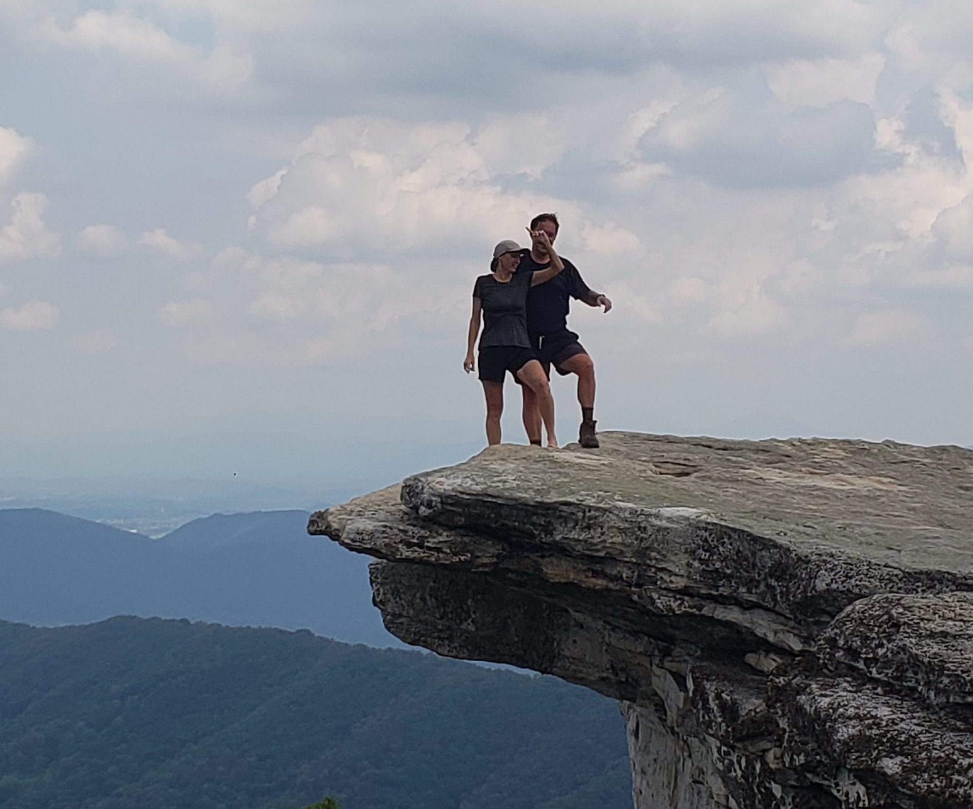
Don’t worry, we will not get too close to the edge!!

On our way out of the park we saw this sign and concluded that they do not want to call this “Dead Cow Point State Park”. Not the same ring.

Arches National Park in Moab, Utah

We have heard wonderful things regarding Arches and boy is it absolutely wonderful! We took 2 full days to drive and hike the park. We would not want to leave any arch unseen you know.

Twin Arches called “windows” from a distance. As with most arches we saw it took a nice short hike to see it up close.

This beauty was crawling with happy visitors, us included. Cool that the NPS allows folks to climb on these fabulous rocks.

Laurie is very excited to be at Arches!

The view from directly underneath one of these massive arches.

This fabulous hoodoo is called “Balanced Rock”. I think you can see why the name is appropriate. Nature is a crazy force to be dealt with.

Nice picture of the happy couple with “Twin Arches” in the background.

This is called “The parade of elephants.” We see one for sure.

On a hike further down the road we took this picture of what we figure was a rogue elephant. Maybe he got voted off the arches island?

These two mini slot canyons were cool to walk into and, on the left, through. We suppose that the fact that it was like walking on a sandy beach is reasonable as these cliffs are mostly sandstone.

This gem is called “Landscape Arch”. The sun posed a photographic dilemma….To take a picture directly into the sun or not? We had more arches to see so no lollygagging to wait for the sun to set a bit. The kiosk near this arch showed a picture from back in the 1970s that some lucky tourist took. It showed a portion of the right side collapsing. We have been wondering how many people actually get to see a rock fall from its perch?

No arches in this picture but a mess of “fins” and “hoodoos” makes for a nice picture. These fins and hoodoos are more prevalent at Bryce Canyon NP but both parks share attributes. Bryce also had arches.

Just driving along the parks scenic roads shows how beautiful nature is with its palette.

Not sure why they named this “Delicate Arch” but it was cool to look at from a distance. We opted not to take the 2 mile hike in to see it close up as we had many other hikes on our itinerary.

Some say “If you have seen one arch you have seen them all.” We disagree. Each arch had its own character and even that character changed regularly with the ever changing angle of the suns rays.

This cute little arch is called “Tunnel Arch”. Looks like someone bored a tunnel through the mountain. This particular arch changed character constantly with the motion of the sun.

We stopped on our way out of the park to take this picture of the entrance. Evidently this spot is right on a major fault line. Hope no earthquakes wreak havoc on the delicate arches in the park. We will be back here at some point in the future.