The park sits on a “spit of land” or mesa that makes it a peninsula of sorts being surrounded on three sides by a very deep canyon. Back in the day wild horses were rounded up and ushered out to the point. The point is accessed by a 30 foot wide strip of land called the “neck”. Once on the point, the horses were corralled there with a gate across those 30 feet. After the cowboys took the prime horses for their own they left the others trapped inside their corral. As there is no water except the Colorado 2000 feet below, they died of thirst. The park literature claims this is a legend and not fact. We think this is a sad legend so we decided to create our own ending….After the cowboys took the prime horses for their own they left the others trapped in their corral, with the horses being untamed the corral couldn’t hold them. One horse died while breaking free and the spirits of the wild horses still roam the canyons below.

This is a gem of a state park here near Canyonlands National Park in Utah. The Colorado River should be given an award for being Mother Nature’s most prolific artist. it cuts nicely through the park creating this massive canyon.

We chose to hike the “rim” trail that stretches all the way around the point for 4.5 miles. At the outset we wondered what the blue smooth areas in the distance were. Turns out to be evaporating pools for salt mining. Potash (potassium chloride) is located in vast quantities about 3000 feet below the surface of the canyon. Water from the Colorado River is pumped down so the salt will dissolve before being pumped back up to the surface. What you see is the vinyl lined evaporation pool. Blue dye is added to the solution to help with evaporation. The dried salt is then scraped up by 20 foot long scraping machines. Not sure how ecofriendly this operation is but it is certainly interesting.


We spent some time just staring at the incredible beauty surrounding us. The sun up here at almost 6000 feet above sea level seems a bit warmer and is rumored to shine more UV light on us than usual. Hence, floppy hats to the rescue.

Had to take a picture of this white blaze painted on the rocks. Back east these blazes adorn the trees, and rocks when no tree is available, and tell a learned hiker which way the trail goes. Nice to have a friendly reminder of what hiking the Appalachian and Finger Lakes Trail.

The actual point park looks mostly like the pic above but our hike kept us within sight of the view of the canyon and not these tumbleweed wannabees.

A view of the mighty Colorado River doing its best to carve out more of the canyon.

Some really cool rock formations dotted the rim of the point. Wonder if they feel lucky to have avoided the long tumble into the canyon as they are right on the edge.

A nice panorama of the west side of the canyon. Check out the dirt roads that help carry the employees to the salt facility out there.

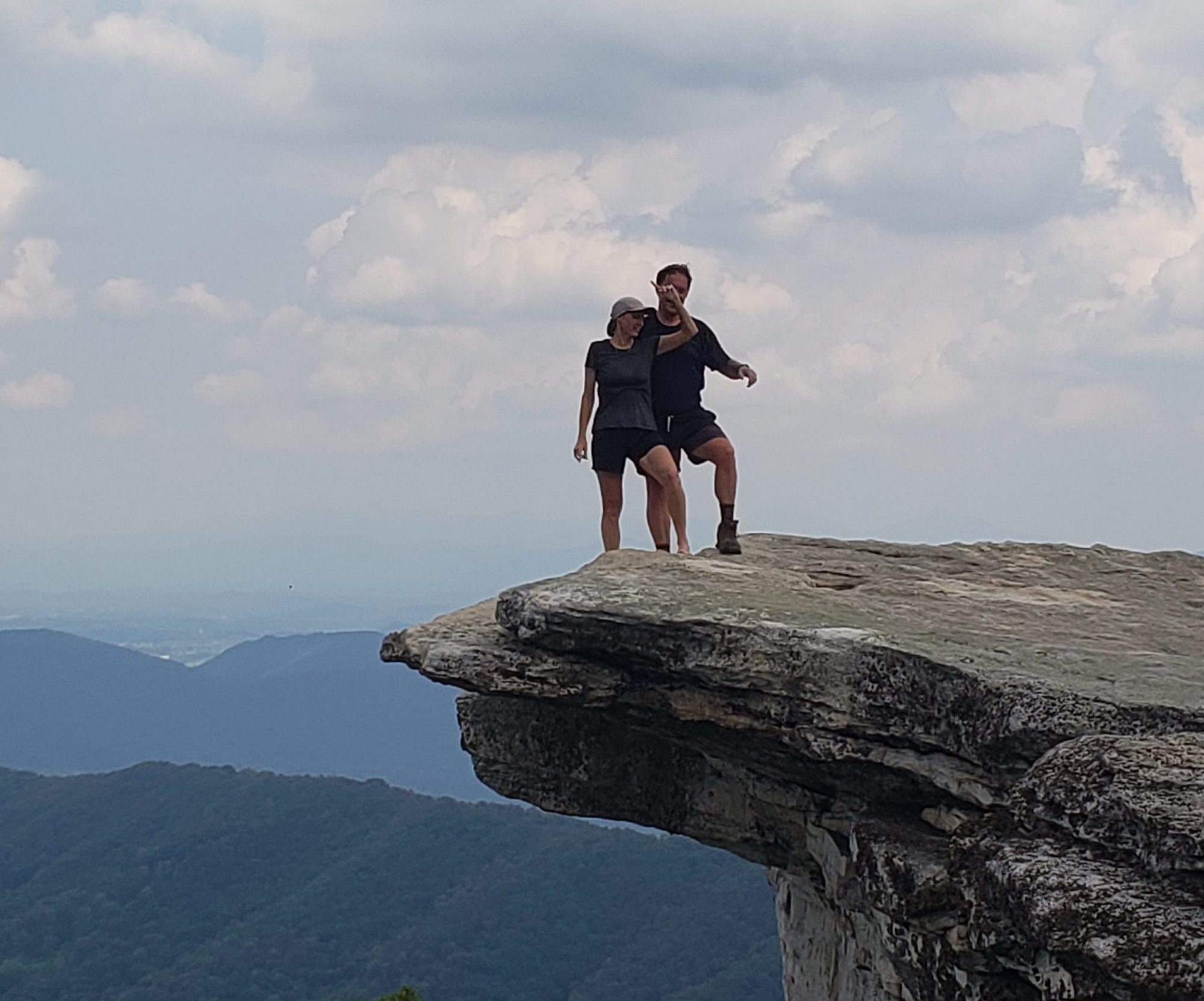
Don’t worry, we will not get too close to the edge!!

On our way out of the park we saw this sign and concluded that they do not want to call this “Dead Cow Point State Park”. Not the same ring.

Wow! I bet pictures don’t do it justice!
I like your version of the legend best!
Happy trails you two!