One Final Post Regarding The AT.

Finishing the Appalachian Trail has been a longstanding goal. My first hike on it was in NY near Bear Mountain back in my high school days. Shortly after meeting Laurie we started backpacking the AT in states near us starting with Massachusetts. After Mass, CT, NY and VT in 2007 we had an idea that someday we might actually walk all 2192 miles from GA to ME. That day was last week when we hiked into Powell Gap along the Skyline Drive just south of Front Royal, VA. It is tough to describe the emotions I felt as we crossed the imaginary finish line after 15 years of planning and hiking but one thing is for sure; being able to finish the trail with my best friend and wife was a dream come true.

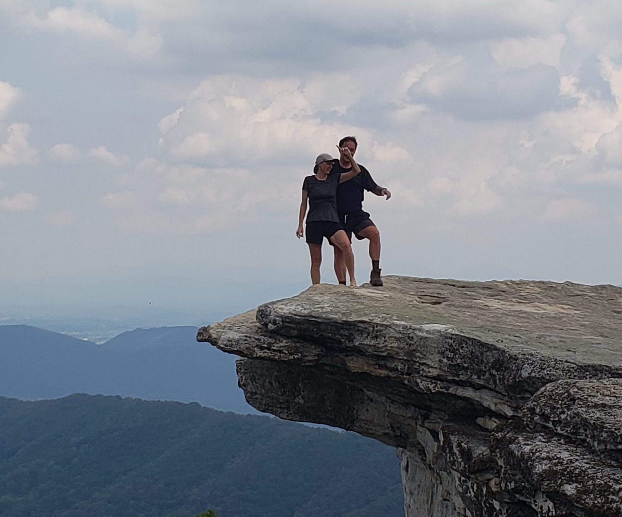
Views like this made Virginia one of our favorite AT states.
Notice the white blaze painted on the rocks. I think that was the trail maintainer’s way of saying “not to close to the edge son”.
I am not an expert on any type of flora but these fungi were very impressive. The fact that no one stepped on them as they were right in the middle of the trail is impressive too.
There have been trail closures before but not for construction of a power line. This detour added about a half mile to the already grueling day of 17 miles.
We were hiking through the area of the recent tragic murder on the AT and found these newly posted 911 signs every mile through Amherst County, VA. If you look closely you can see it was a rush job to get these signs up. It does clearly give instructions for your “saftey” Great idea though in the age of cell phone useage.
We hiked by/through many old home foundations along the AT corridor. This one has a very eerie looking chimney don’t you think?
Our map kept telling us how far we were from the “foot bridge” over the James River. We had no idea it was called that because it was named after a dude named Foot!!
This bridge is built more sturdily than many of the regular bridges we have driven over.
This shelter was built in a stunningly beautiful setting right next to a roaring stream. Not sure I would sleep there in a rain storm though. I could not imagine being caught in a flash flood in this narrow river valley.
The grave of George Pearis is in the AT corridor. The fairly large city of Pearisburg, VA is named after him.

Our last hike on the AT was a short 6 mile hike. It criss-crossed the Skyline drive 4 times in that 6 miles. At each road crossing the NPS places a cement marker with a steel band wrapped around it. They put the familiar AT symbol facing the road and the mileages to certain points of interest along the trail on the band.

We snapped this photo in 2010 during our bike ride down the Skyline Drive/Blue Ridge Parkway. We figured we would be back to hike the AT in the area some day.
There it is!! The end of an epic journey awaits just across the street. There is nothing unique or special about Powell Gap but it is a very special place for us now.
What journey will we take next?

One Reply to “One Final Post Regarding The AT.”

  1. How about calling the bridge “James River “FOOT”
    Foot Bridge?”
    Congrats on your monumental accomplishment!!

Comments are closed.